Blog: Synergy in the Knowledge Hub: Linking AfriAlliance databases
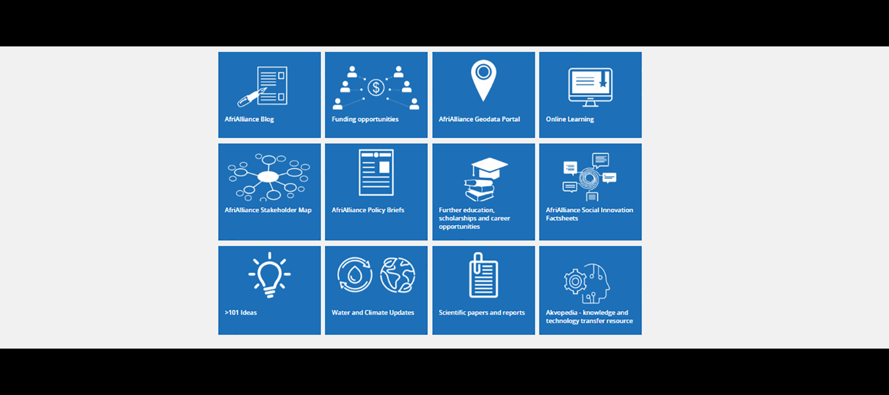
The AfriAlliance Knowledge Hub contains a range of information of use to water and development professionals working in Africa. The databases in the Knowledge Hub provide detailed insight into water-related trends and themes prevalent in Africa – of particular use to researchers and professionals. Below is an example of how the information from various AfriAlliance data sources can be combined to create a powerful tool for informing research.
Bernice is a Ghanaian researcher who wants to create a map on the rainfall trend in Ghana over the past 10 years to investigate sustainable agriculture. She uses the AfriAlliance Knowledge Hub (https://afrialliance.org/knowledge-hub) to find and connect to several information resources.
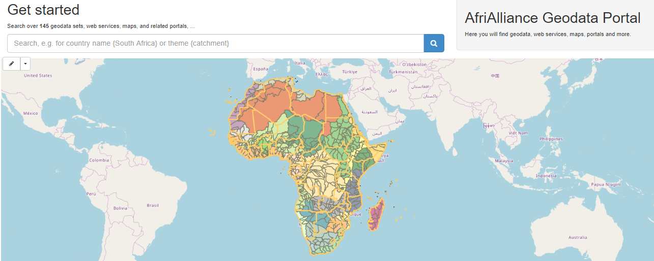
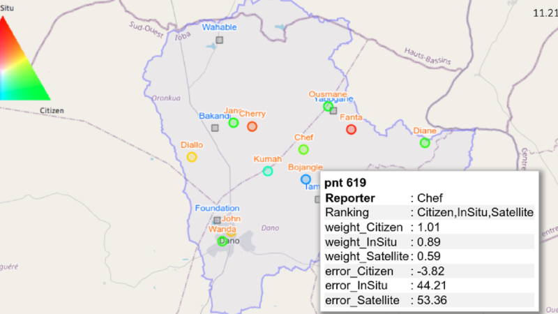
First, she searches for ‘Rainfall’ in the AfriAlliance Geodata Portal and finds CHIRPS as one of the important geographical data sources. From the other data sources in the portal she learns about the availability of satellite data, in-situ sensor and crowd-sourced data. She looks up CHIRPS on Google and finds related work in an open access publication (https://doi.org/10.3390/cli6040087) by an international team including WASCAL, and she reads how they have used the CHIRPS data.
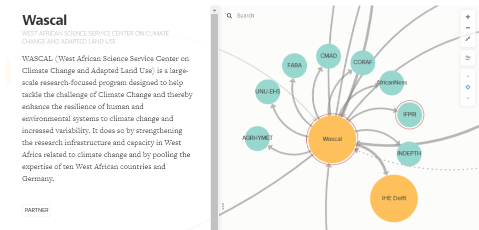
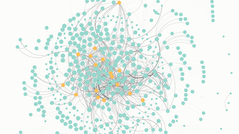
Then she looks up the organisations of the researchers involved in this publication, in the AfriAlliance Stakeholder Map, in which she enters ‘Wascal’ in the Search field and finds out that Wascal has links to other organisations such as IHE, IWMI and CORAF, which will be worthwhile to keep an eye on when seeking for further contacts.
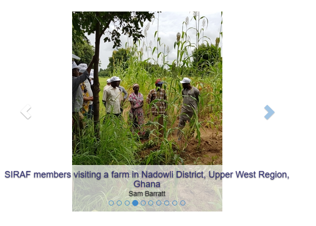
On the AfriAlliance website Bernice also discovers that the within the AfriAlliance project a dedicated Action Group has supported the learning about smallholder farmer resilience in Ghana.
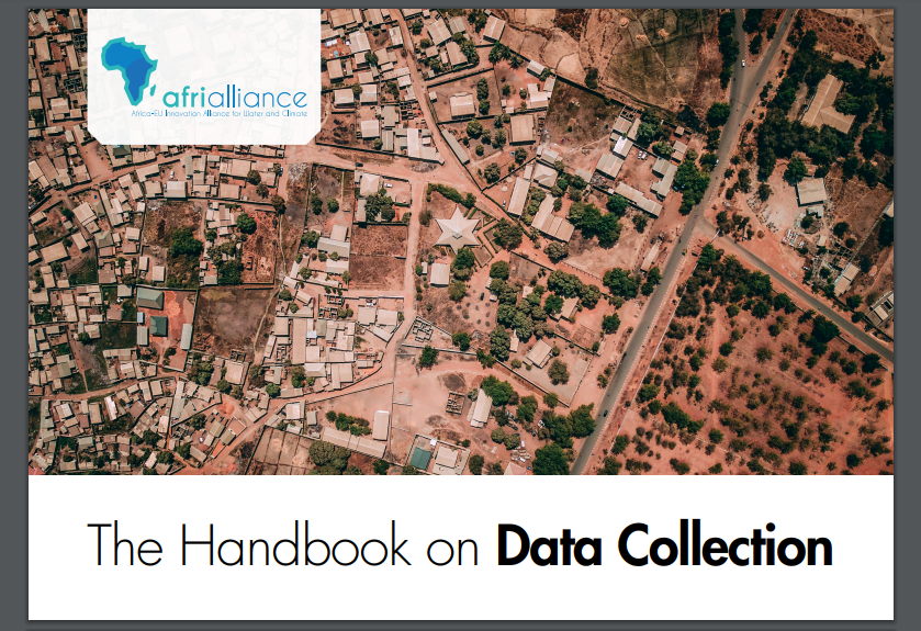
In the meantime, she looks for data collection solutions by others and finds several in the AfriAlliance Database of R&I projects, in the AfriAlliance Handbook on Data Collection and in Akvopedia, where she finds a link to the Small Reservoirs Toolkit, a method relevant for her research.

One of the partners involved in the Small Reservoirs Toolkit is WRI Ghana. Bernice finds them in the AfriAlliance Stakeholder Map. She also notices that this project introduced new data that is not yet in the Geodata Portal and she makes an effort to enter those for further use by others.
By making use of the AfriAlliance Knowledge Hub, in combination with other search engines, Bernice is able to explore and connect knowledge shared by organisations which are actively pursuing solutions in the domain of water and climate change-related challenges.

